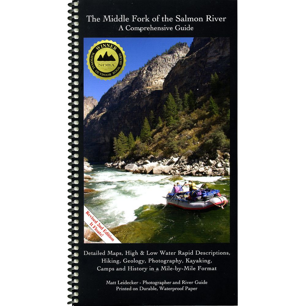
Middle Fork of the Salmon Guide Book


This product is no longer available, but we’ve got more options for you:
Product Details
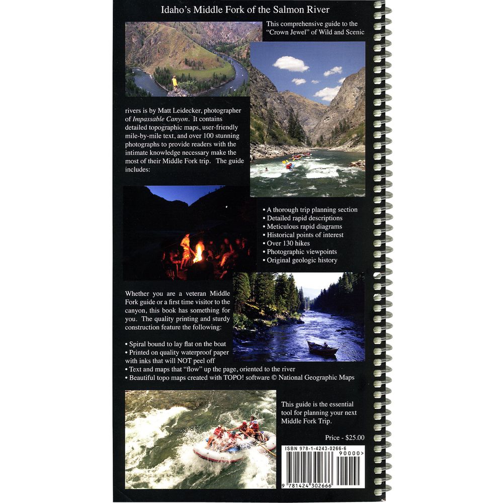
Matt Leidecker's Middle Fork of the Salmon River Comprehensive Guide gives you detailed topo maps, high & low water rapid descriptions, campsites, hiking and geology - in waterproof format.
Author: Matt Leidecker
Copyright: 2006
Size: 6" x 11"
Pages: 94 waterproof
- Spiral bound and printed on durable waterproof paper, this detailed 94-page guide gives you all the information you need for a successful Middle Fork trip.
- The color topo maps are created from the National Geographic TOPO software in 1:15,000 format with added rapid, camp and historical landmarks locations.
- Matt includes permit information, fishing, camping and other trip planning tips in the front of the guide.
- For you high tech folks, GPS coordinates are given for all campsite locations.
- Over 130 hikes are detailed and described.
- Sixteen pages of geologic history and mile-by-mile lists of creek blowouts and geologic events.
Author: Matt Leidecker
Copyright: 2006
Size: 6" x 11"
Pages: 94 waterproof
Specs
| Subject Matter: | Guidebooks |
|---|---|
| Author: | Matt Leidecker |
| Copyright: | 2006 |
| Size: | 6" x 11" |
| Pages: | 94 |
| Features: |
|
You May Also Like


Reviews
Due to your cookie choices, we cannot show you this content. Adjust your settings?
Questions
Due to your cookie choices, we cannot show you this content. Adjust your settings?
 NRS Gift Card: Always Fits, Always Wanted


