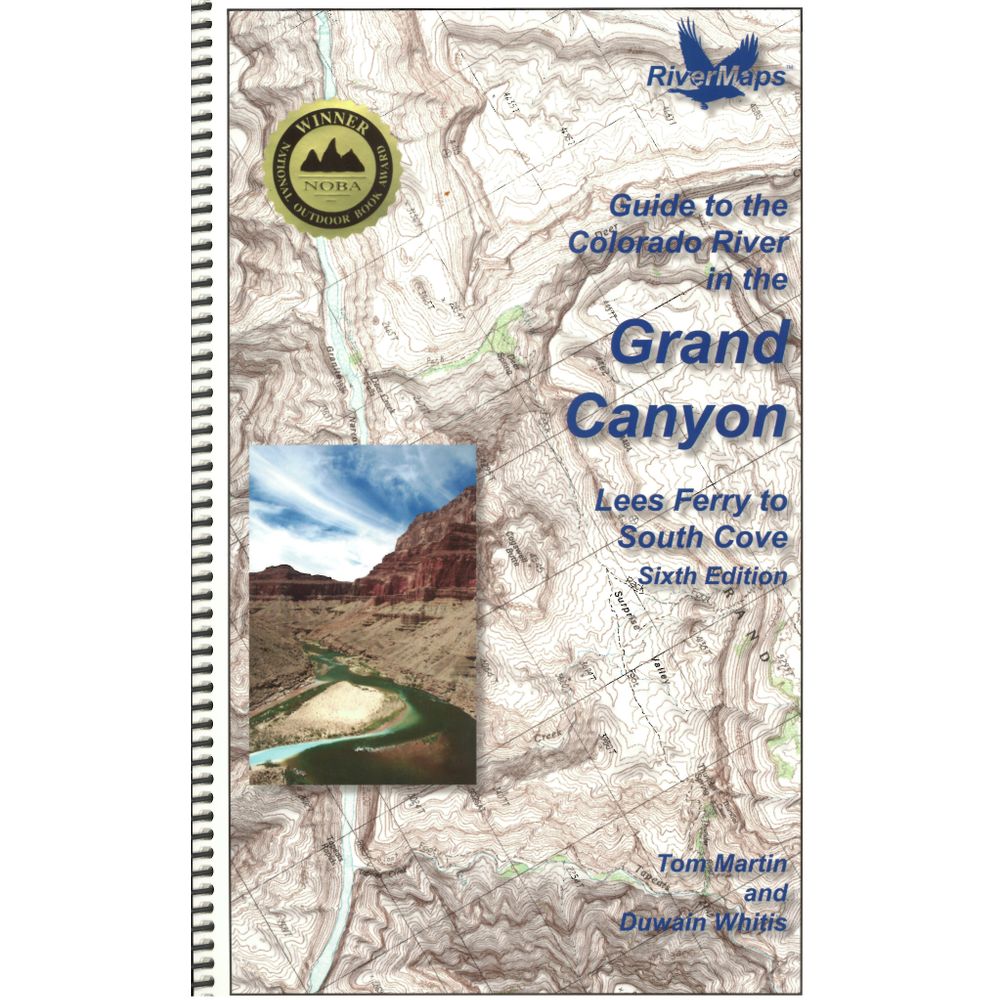
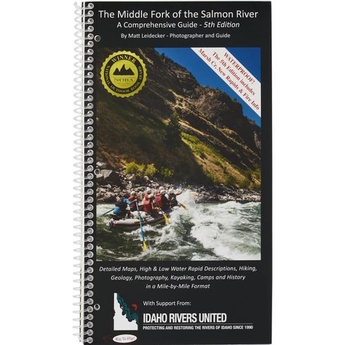
RiverMaps Colorado River in the Grand Canyon 6th Ed. Guide Book
Product Gallery
Product Gallery Thumbnails


This product is no longer available, but we’ve got more options for you:
The RiverMaps Guide to the Colorado River in the Grand Canyon is a must-have guidebook for your trip down the Grand. It's durable and waterproof with USGS topo maps and excellent descriptions of river features.
Product Details
- This 6th Edition book covers the entire river, from the Lees Ferry launch site to the South Cove take out on Lake Mead.
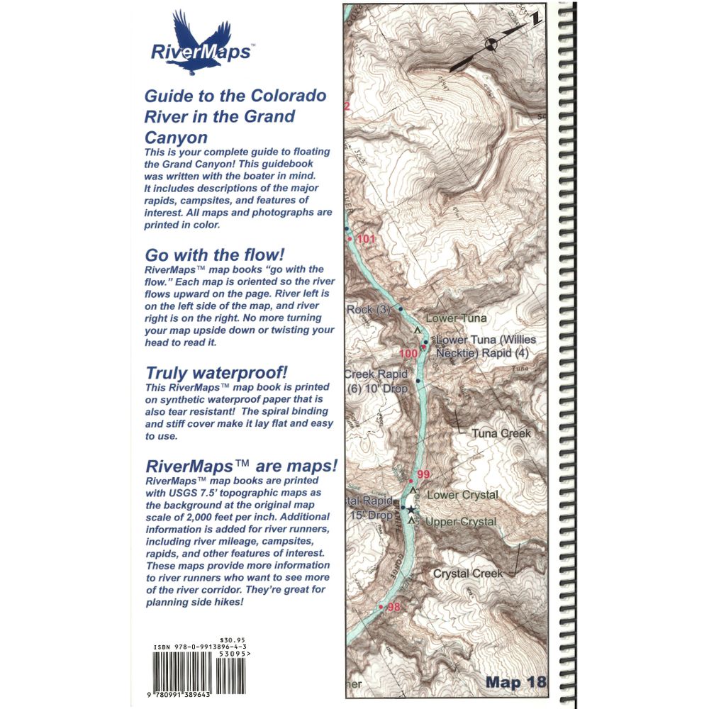
- Spiral-bound format with full-color topographical maps on the right side and complete text descriptions on the facing page.
- The new mapping software used in this edition allows relief shading of the topo maps, giving you a much better perspective of the terrain.
- Excellent mile-by-mile information on rapids, campgrounds, geological features, historical sites and reference points.
- The topo maps are the same scale as the original USGS maps. The contour lines and accurate river shape enhances your ability to keep track of where you are.
- The high-quality waterproof paper stands up to the soaking it's going to get!
- The book lists numerous side hikes and interesting features away from the river.
- All photos in this edition are in full color.
- Also includes info pages on frequently asked questions about boating the river, Grand Canyon geology, archaeology, resource protection and plants found in the Canyon.
- Between the 6th and 5th addition, text changes are relatively minor. The most significant changes for river runners include information about a few camps below Diamond Creek (mile 225). Two camps were deleted, one was added, and another slightly moved.
Copyright: 2016
Size: 9" x 14"
Pages: 120
Specs
Subject Matter:
Guidebooks
Author:
Tom Martin & Duwain Whitis
Copyright:
2016 6th Edition
Size:
9" x 14"
Pages:
120
Features:
- Waterproof
- USGS 7.5" color topo map reproductions
- Scale: 2,000 feet per inch (1:24,000)
You May Also Like
Reviews
Due to your cookie choices, we cannot show you this content. Adjust your settings?
Questions
Due to your cookie choices, we cannot show you this content. Adjust your settings?
 NRS Gift Card: Always Fits, Always Wanted


