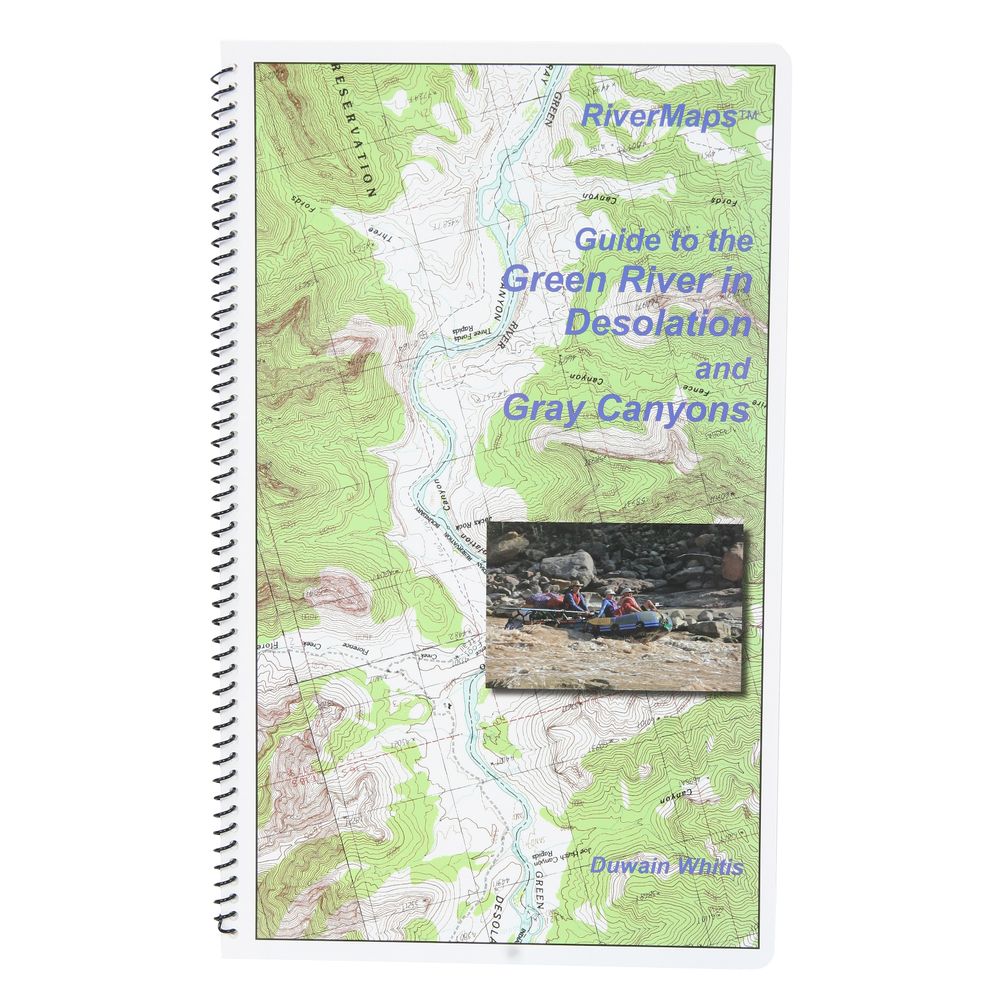
RiverMaps Green River in Desolation & Gray Canyons Guide Book


This product is no longer available, but we’ve got more options for you:
Product Details
The Green River flows through Desolation and Gray Canyons in Utah and this RiverMaps™ guidebook shows you the way through all the rapids, campsites and places of interest.
Copyright: 2009
Size: 9"W x 14"H - waterproof paper
- Covers the 84 mile trip from the Sand Wash put-in to the Swaseys Ramp takeout.
- RiverMaps guidebooks are made by river runners for river runners.
- These large format books are printed on tough synthetic waterproof paper and spiral bound so they lay flat and can take the waves, splash and wear of a river trip.
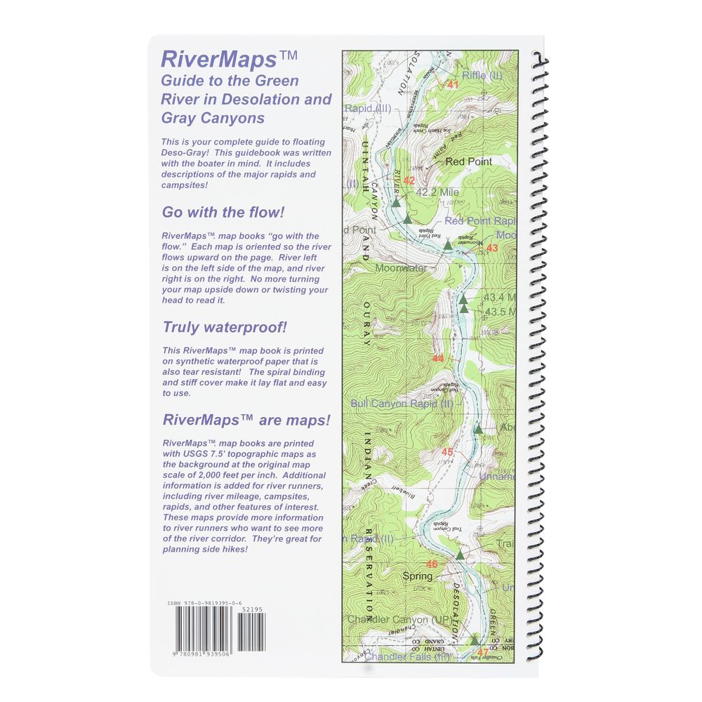
- Opened up, the left side page has mile-by-mile descriptions of major rapids, campsites and features of interest. There are also great color photos that illustrate the text.
- The right side page features color USGS topographic maps at the scale of 2,000 feet to the inch (1:24,000). There's no better way to keep track of where you are on the river.
- But wait, there's more. In the front of the book is lots of information about the river, the landscape and the flora and fauna.
- The front six pages are chock full of BLM contact info and regulations, tribal contact and permit info, weather, geology, archaeology, history, ecology and resource protection wisdom.
- No matter what other resources you have, this guidebook is really an essential tool for enjoying these magnificent river trips.
Copyright: 2009
Size: 9"W x 14"H - waterproof paper
Specs
| Subject Matter: | Guidebooks |
|---|---|
| Author: | Duwain Whitis |
| Copyright: | 2009 |
| Size: | 9" x 14" |
| Pages: | 32 |
| Features: |
|
You May Also Like
Reviews
Due to your cookie choices, we cannot show you this content. Adjust your settings?
Questions
Due to your cookie choices, we cannot show you this content. Adjust your settings?
 NRS Gift Card: Always Fits, Always Wanted


