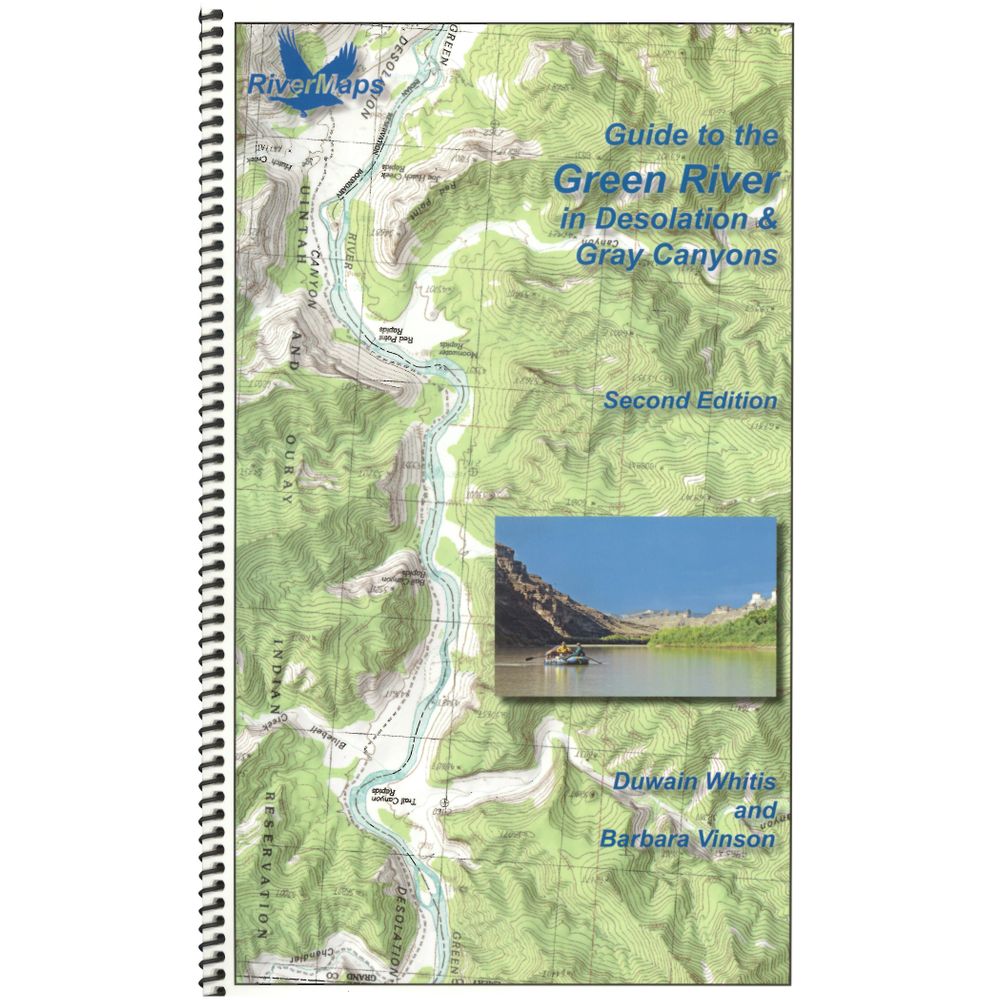
RiverMaps Green River in Desolation & Gray Canyons Guide Book
Shop All RiverMapsProduct Gallery
Product Gallery Thumbnails


This product is no longer available, but we’ve got more options for you:
The Green River flows through Desolation and Gray Canyons in Utah and this RiverMaps™ guidebook shows you the way through all the rapids, campsites and places of interest.
Product Details
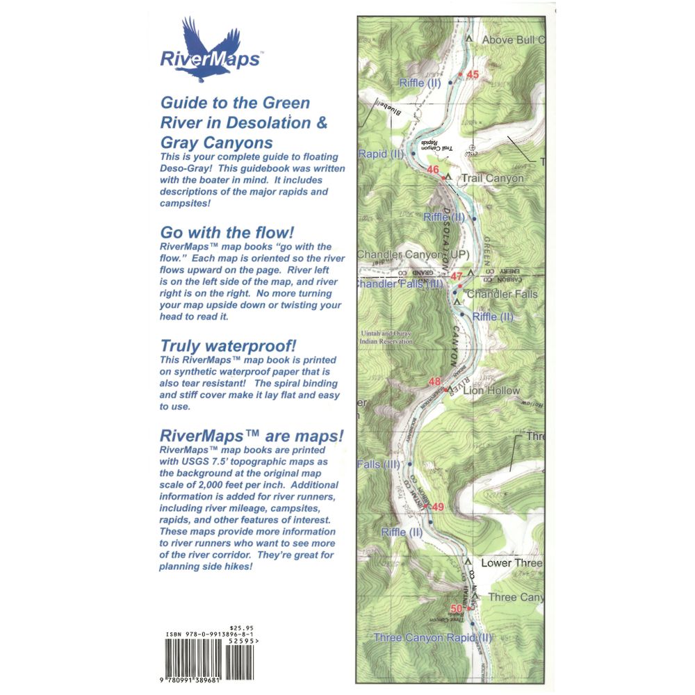
- RiverMaps guidebooks are made by river runners for river runners.
- The 2nd Edition extends the original 84 mile trip from the Sand Wash put-in to the Swaseys Ramp takeout to 96 miles now that Tusher Dam allows boats to pass to take out at the Green River State Park Boat Ramp.
- Spiral bound construction lets the pages lie flat and high quality waterproof, tear-resistant paper handles the splash and abuse of negotiating rivers.
- Full-color topo maps on the right side and complete mile-by-mile text descriptions of major rapids, campsites and features of interest on the facing page.
- USGS topographic maps at the scale of 2,000 feet to the inch (1:24,000). There’s no better way to keep track of where you are on the river.
- The front 13 pages offer BLM contact info and regulations, tribal contact and permit info, weather, geology, archaeology, history, ecology and resource protection wisdom.
- No matter what other resources you have, this guidebook is an essential tool for enjoying these magnificent river trips.
Specs
Subject Matter:
- Guidebooks
Subject Location:
Southwest
Author:
Duwain Whitis & Barbara Vinson
Copyright:
2018, 2nd Edition
Size:
9" x 14"
Pages:
43
Water Resistant:
Yes
Features:
- Waterproof
- USGS 7.5" color topo map reproductions
- Scale: 2,000 feet per inch (1:24,000)
You May Also Like


Reviews
Due to your cookie choices, we cannot show you this content. Adjust your settings?
Questions
Due to your cookie choices, we cannot show you this content. Adjust your settings?
 NRS Gift Card: Always Fits, Always Wanted


