Product Gallery
Product Gallery Thumbnails


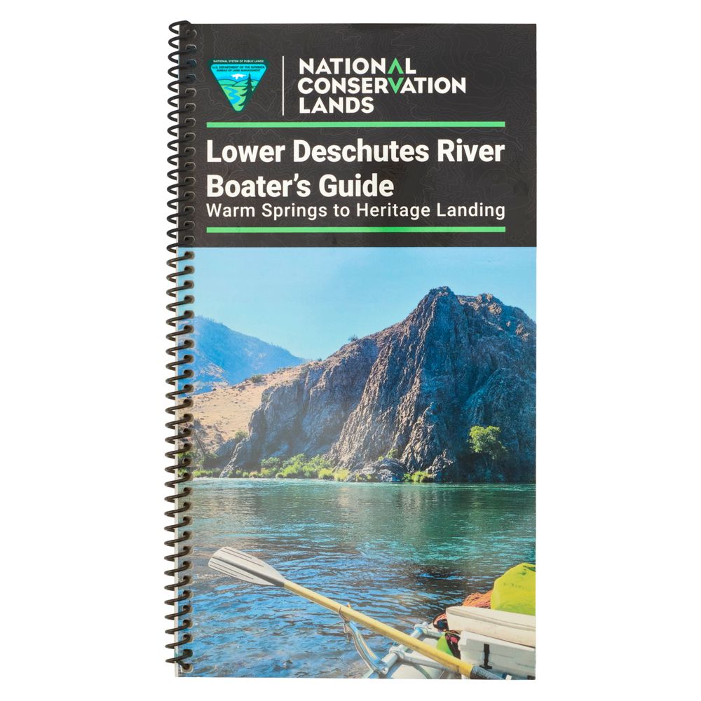
Get to know the Lower Deschutes with this waterproof Deschutes River Boater’s Guide. Detailed maps cover recreation, fishing and boating, while information on river safety, rules, and history helps you make the most of your time on the water.
Product Details
- Includes 18 river maps that cover the Deschutes from the Pelton Reregulating Dam just above the Warm Springs Boat Ramp to the river’s confluence with the Columbia at Heritage Landing.
- River mile markers represent the number of miles upstream from the confluence with the Columbia.
- Excellent mile-by-mile information on rapids, campgrounds, geological features, historical sites, and reference points.
- With book in hand, maps read from bottom to top to match the downstream flow of the river.
- Includes information on scenery, recreation, fire restrictions, fish, wildlife, geology, history, and botany.
- Printed on high-quality waterproof paper to prevent ink from smearing and is tear resistant to keep your guide intact throughout the trip.
Specs
Subject Matter:
- Guidebooks
Subject Location:
West
Author:
Bureau of Land Management
Copyright:
2026
Size:
11" x 6"
Pages:
67
Water Resistant:
Yes
You May Also Like

Reviews
Due to your cookie choices, we cannot show you this content. Adjust your settings?
Questions
Due to your cookie choices, we cannot show you this content. Adjust your settings?
 NRS Gift Card: Always Fits, Always Wanted