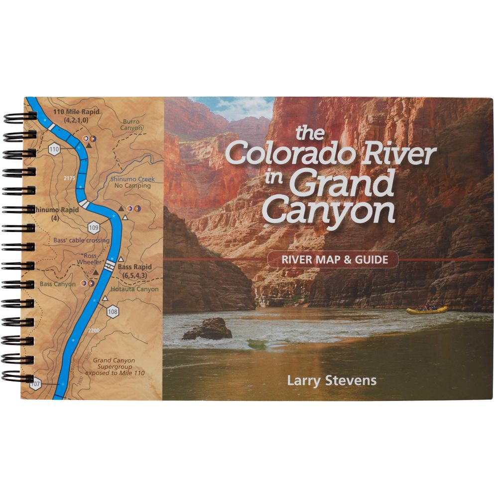
The Colorado River in Grand Canyon River Map & Guide
Product Gallery
Product Gallery Thumbnails


Price: $34.95
Written by a longtime river runner who has spent decades engaged in ecological research in the American Southwest, The Colorado River in Grand Canyon River Map & Guide gives boaters the information necessary to navigate from Glen Canyon Dam to Lake Mead.
Product Details
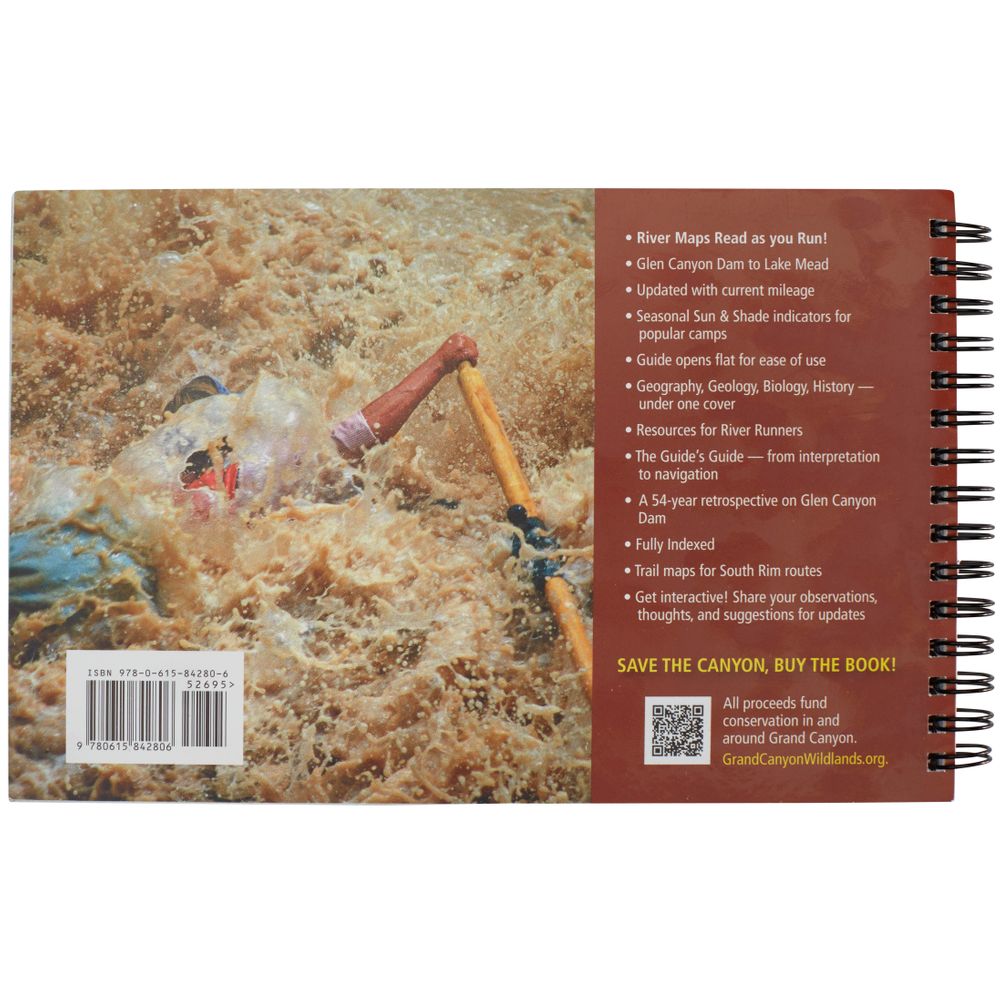
- Mile-by-mile river map from Glen Canyon Dam to Lake Mead, indicating named rapid locations and ratings, popular camping/non-camping spots (with seasonal sun and shade indicators) and hiking trails.
- Additional information on geography, geology, biology, ecology and human history (with photos).
- Also includes a 54-year retrospective on Glen Canyon Dam.
- Blank pages in the back provide space for scribbling notes about rapids, camps or unexpected sightings.
- Guide opens flat for ease of use and color-coded sections aid in guidebook navigation.
- With book in hand, maps read from bottom to top to match the downstream flow of the river.
100% of the proceeds from sales of this guide go directly to funding conservation work in and around Grand Canyon through the Grand Canyon Wildlands Council, Inc.
Specs
Weight:
0.9 lbs
Subject Matter:
- Guidebooks
Subject Location:
Southwest
Author:
Larry Stevens
Copyright:
2019, 5th Ed.
Size:
8.5" x 5.5"
Pages:
148
Features:
- Spiral-bound, water-resistant paper
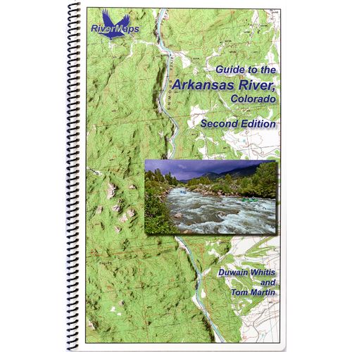
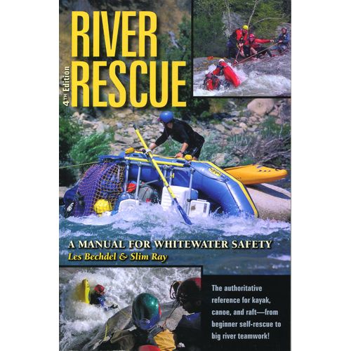
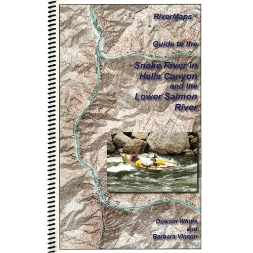
You May Also Like

Reviews
Due to your cookie choices, we cannot show you this content. Adjust your settings?
Questions
Due to your cookie choices, we cannot show you this content. Adjust your settings?
 NRS Gift Card: Always Fits, Always Wanted


