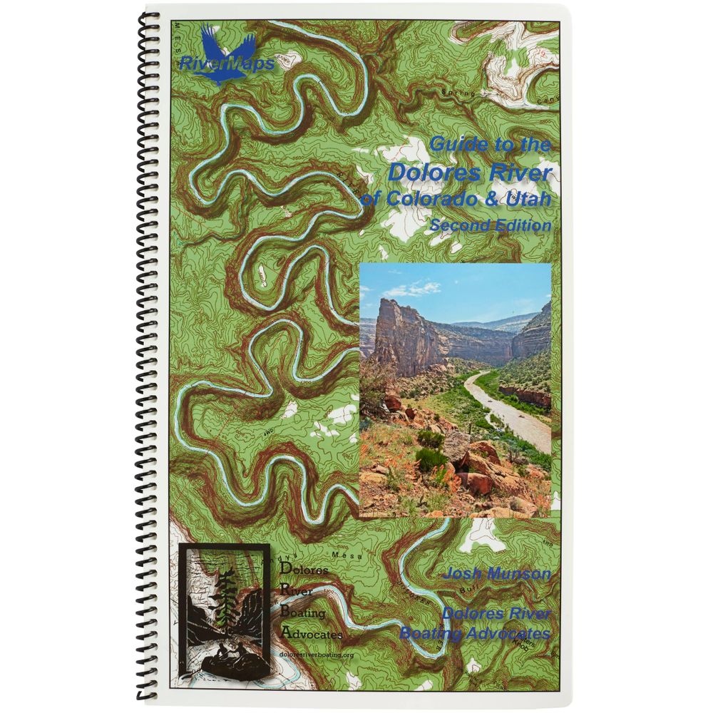
RiverMaps Dolores River of Colorado & Utah 2nd Edition Guide Book
Shop All RiverMapsProduct Gallery
Product Gallery Thumbnails


Price: $37.95
The second edition of RiverMaps™ Guide to the Dolores River of Colorado & Utah prepares boaters for a trip through the Dolores’ gentle whitewater and red rock canyons. The second edition has updated mile-by-mile descriptions of camps and features, plus insight into advocacy efforts and natural and human history.
Product Details
- Covers 175 miles of the Dolores River from Bradfield Recreation Area in Colorado to Dewey Bridge in Utah.
- High-quality waterproof, tear-resistant paper handles splash and abuse in negotiating rivers.
- Spiral bound format with full-color topo maps on the right side and complete text descriptions on the facing page.
- The topo maps are the same scale as the original USGS maps. The contour lines and accurate river shape help you keep track of where you are.
- Excellent mile-by-mile information on rapids, campgrounds, geological features, historical sites, and reference points.
- Includes info pages on side hikes, frequently asked questions, area geology, archaeology, resource protection and plants found along the river, as well as emergency contact information.
- Archival information retells the history of the first-ever run from Dolores, CO, to Moab, UT, in 1948.
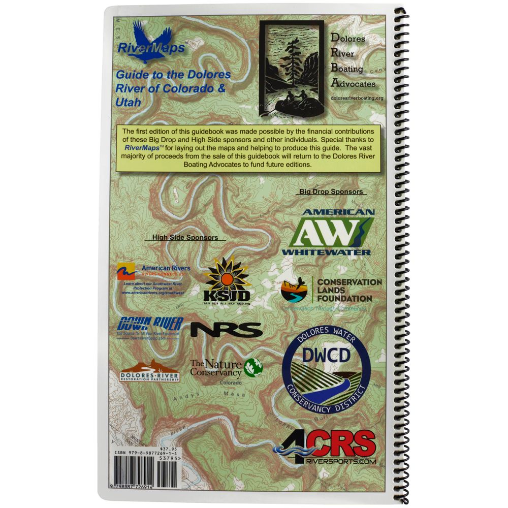
- Proceeds from the sale of this book benefit the Dolores River Boating Advocates.
Pro Tip: Personalize your map for future river trips by writing notes on dry pages with a permanent marker.
Specs
Subject Matter:
- Guidebooks
Subject Location:
Southwest
Author:
Josh Munson
Copyright:
2024
Size:
9" x 14"
Pages:
72
Water Resistant:
Yes
Features:
- Spiral-bound
- Waterproof, Tear-proof pages
- Scale: 2,000 feet per inch (1:24,000)
- Map Pages: USGS 7.5" color topo reproductions
You May Also Like

Reviews
Due to your cookie choices, we cannot show you this content. Adjust your settings?
Questions
Due to your cookie choices, we cannot show you this content. Adjust your settings?
 NRS Gift Card: Always Fits, Always Wanted


