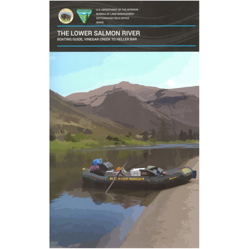
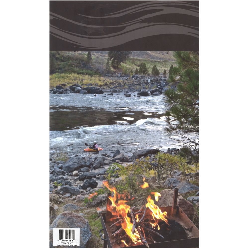
The Lower Salmon River Boating Guide Book
Product Gallery
Product Gallery Thumbnails


Price: $13.95
The Lower Salmon River Boating Guide includes maps and information about the Salmon River from Vinegar Creek to the confluence with the Snake River and the Snake River from the confluence to Heller Bar below the confluence with the Grande Ronde River.
Product Details
- Full-spread, detailed color maps provide mile-by-mile information. With book in hand, maps read from bottom to top to match the downstream flow of the river.
- Boaters can reference this guidebook for information on permits and restrictions, shuttle drive times and river etiquette.
- Also includes, history of the Lower Salmon and Snake Rivers and information on geology, wildlife and plant life.
- The spiral-bound format makes it easy to turn pages and fold the book as needed.
- High-quality waterproof paper prevents ink from smearing and is tear resistant to keep your guide intact throughout your trip.
Specs
Weight:
12.5 oz
Subject Matter:
- Guidebooks
Subject Location:
West
Author:
Bureau of Land Management
Copyright:
2018
Size:
9" x 14"
Pages:
82
Water Resistant:
Yes
Features:
- Spiral-bound
- Waterproof, Tear-proof pages
- Map Scale: 1:12,000
You May Also Like
Reviews
Due to your cookie choices, we cannot show you this content. Adjust your settings?
Questions
Due to your cookie choices, we cannot show you this content. Adjust your settings?
 NRS Gift Card: Always Fits, Always Wanted


