
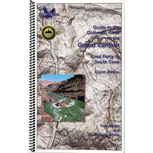
Accurate USGS maps and straightforward descriptions of river features make the RiverMaps™ Guide to the Colorado & Green Rivers in the Canyonlands a must-have for any trip. Detailed maps are easy to read and waterproof construction keeps it working when things get wet.
Product Details
- This book covers the entire permitted portions of Labyrinth and Stillwater Canyons on the Green River, and on the Colorado River through Horsethief, Ruby, Westwater, the Moab Daily, Meander, Cataract, and Narrow canyons.
- Spiral-bound format with full color topo maps on right side and complete text descriptions on the facing page.
- Color photos highlight some of the river’s more famous attractions and features.
- Excellent mile by mile information on rapids, campgrounds, geological features, historical sites, and reference points.
- The topo maps are the same scale as the original USGS maps. The contour lines and accurate shape of the river really help you keep track of where you are.
- High quality waterproof, tear-resistant paper handles the splash and abuse of negotiating rivers.
- This guidebook also includes numerous side hikes and interesting features away from the river.
- Includes info pages on frequently asked questions about boating the river, area geology, archaeology, resources protection, and plants found along the river, as well as emergency contact information.
Specs
Subject Matter:
- Guidebooks
Subject Location:
Southwest
Author:
Tom Martin & Duwain Whitis
Copyright:
2025
Size:
9" x 14"
Pages:
109
Water Resistant:
Yes
Features:
- Waterproof paper
- Map Pages: USGS color topo reproductions
- Scale: 2,000 feet per inch (1:24,000)
You May Also Like
Reviews
Due to your cookie choices, we cannot show you this content. Adjust your settings?
Questions
Due to your cookie choices, we cannot show you this content. Adjust your settings?
 NRS Gift Card: Always Fits, Always Wanted


