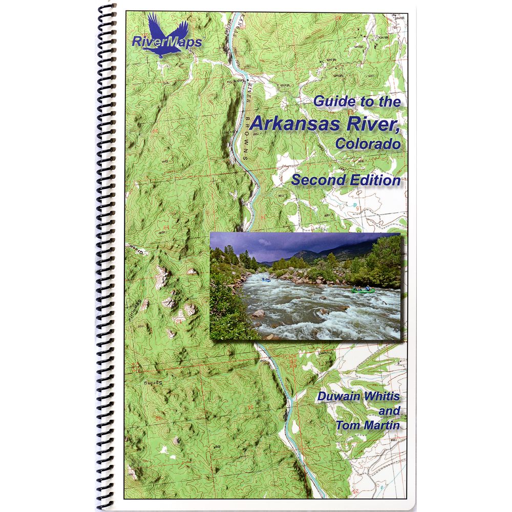
RiverMaps Arkansas River Colorado Guide Book
Shop All RiverMapsProduct Gallery
Product Gallery Thumbnails


Price: $36.95
RiverMaps Guide to the Arkansas River Colorado Book is the only guidebook for the Arkansas River with USGS topographic map backgrounds, printed at their original scale, with additional map detail added in an easy-to-read format.
Product Details
- Covers 115 miles of the Arkansas River from Hayden Meadows to Canon City.
- River sections include Pine Creek, Numbers, Fractions, Milk Run, Browns Canyon, Stone Bridge to Rincon, Rincon to Pinnacle Rock, Parkdale and Royal Gorge.
- Mile by mile information on rapids, campgrounds, geological features, historical sites and reference points, as well as current permit requirements and regulations.
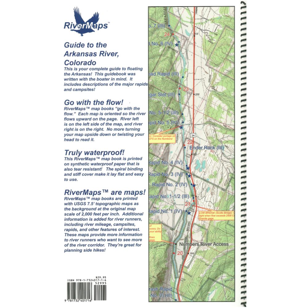
- Spiral bound format with full color topo maps on the right side and complete text descriptions on the facing page.
- The topo maps are the same scale as the original USGS maps. The contour lines and accurate shape of the river really help you keep track of where you are.
- The high-quality waterproof paper won’t tear and the ink won’t bleed no matter how harsh of a soaking you put it through.
Specs
Weight:
11 oz
Subject Matter:
- Guidebooks
Subject Location:
Southwest
Author:
Duwain Whitis and Tom Martin
Size:
9" x 14"
Pages:
62
Water Resistant:
Yes
Features:
- Waterproof paper
- Map pages: USGS Color Topo Reproductions
- Scale: 2,000 feet per inch (1:24,000)
You May Also Like
Reviews
Due to your cookie choices, we cannot show you this content. Adjust your settings?
Questions
Due to your cookie choices, we cannot show you this content. Adjust your settings?
 NRS Gift Card: Always Fits, Always Wanted


