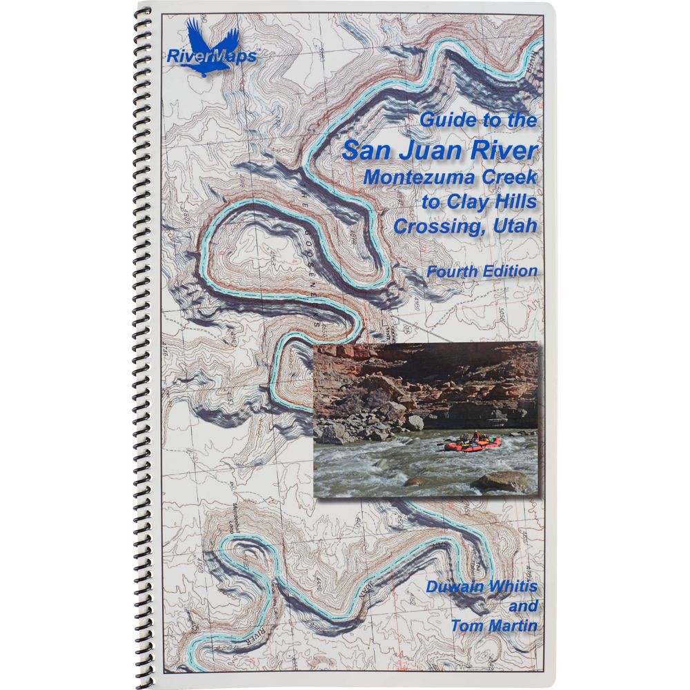
RiverMaps San Juan River Guidebook 4th Edition
Shop All RiverMapsProduct Gallery
Product Gallery Thumbnails


Price: $29.95
Check out the newer version of this product: RiverMaps San Juan River Guidebook 5th Edition
Written for boaters by boaters, the fourth edition of the RiverMaps™ San Juan River Guidebook includes mile-by-mile river descriptions plus info on side hikes and campsites. Spiral-bound and made with waterproof paper, it’s your go-to, on-the-water companion.
Product Details
- This guide covers 84 miles of the San Juan River from Montezuma Creek to Clay Hills Crossing including color photos with up-to-date data on camps and river features.
- Mile by mile information on rapids, campgrounds, geological features, historical sites and reference points.
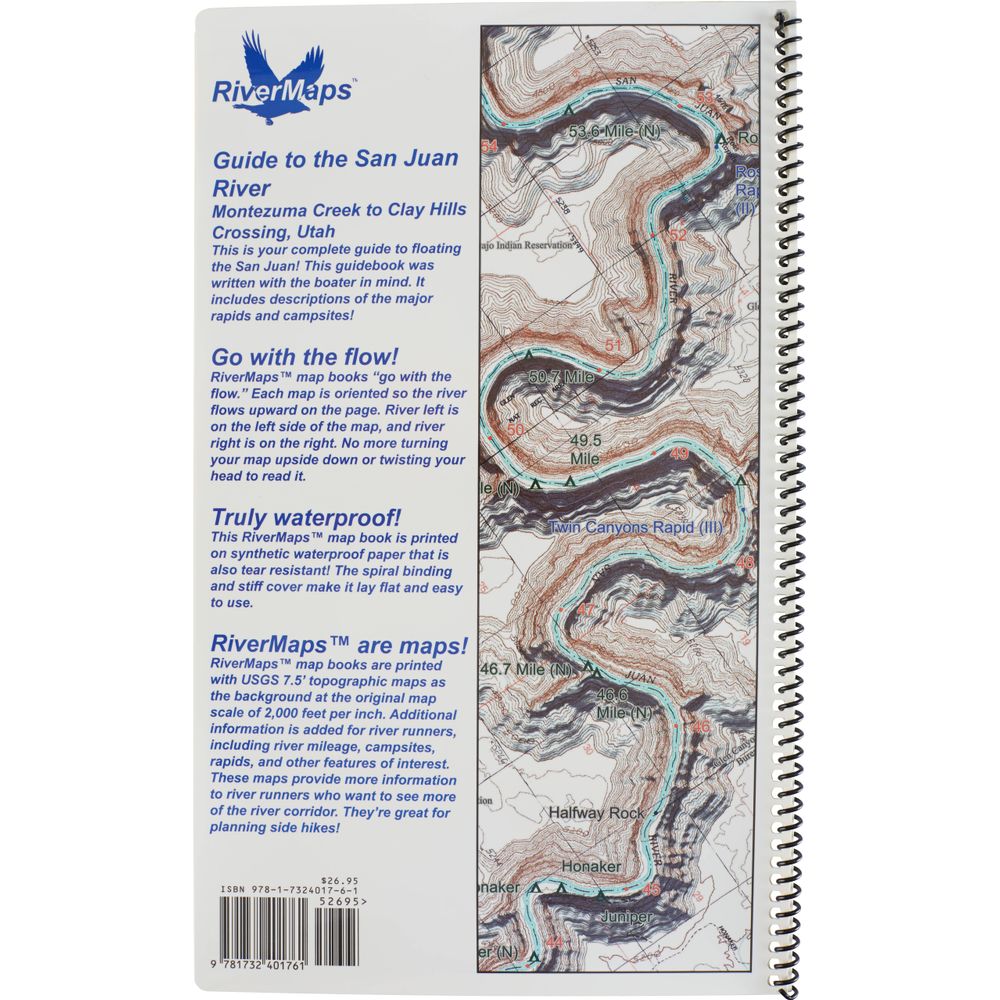
- With book in hand, maps read from bottom to top to match the downstream flow of the river.
- The topo maps are the same scale as the original USGS maps. The contour lines and accurate river shape enhance your ability to keep track of where you are.
- Relief shading of the topo map offers a much clearer perspective of the terrain.
- Printed on high-quality waterproof paper to prevent ink from smearing and is tear-resistant to keep your guide intact throughout the trip.
- Spiral bound format with full color topo maps on the right side and complete text descriptions on the facing page.
Specs
Weight:
6 oz
Subject Matter:
- Guidebooks
Subject Location:
Southwest
Author:
Tom Martin & Duwain Whitis
Copyright:
2021 4th Edition
Size:
9" x 14"
Pages:
37
Water Resistant:
Yes
Features:
- Waterproof paper
- Map Pages: USGS color topo reproductions
- Scale: 2,000 feet per inch (1:24,000)
You May Also Like

Reviews
Due to your cookie choices, we cannot show you this content. Adjust your settings?
Questions
Due to your cookie choices, we cannot show you this content. Adjust your settings?
 NRS Gift Card: Always Fits, Always Wanted


